
GeoAI Solutions

Our Hosted GeoAI Processing Service offers hands-free, cloud-based geospatial data processing—no setup, no maintenance, just results.
Service Highlights:
-
Upload LiDAR or Aerial Imagery to get AI-powered data processing and site planimetric mapping.
-
Supports Power Line Surveys, Site Planimetrics, and More.
Full site planimetric for a 5 acre commercial property can be delivered in 24 hours for under $1,800.
Power Line LiDAR Data Processing is $75 per mile with discounted rates for long distance utility lines.
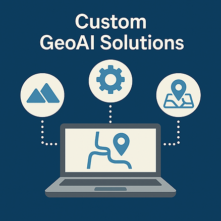
Our Custom GeoAI Solutions are built to solve your unique spatial challenges using advanced AI models and geospatial analytics. Whether you're streamlining inspections, detecting patterns, or automating mapping tasks, we tailor each solution to fit your specific goals and data environment.
Service Highlights:
-
Design and deploy AI models for object detection, classification, and predictive mapping
-
Integrate GeoAI tools with your existing GIS platforms and workflows
-
Deliver user-friendly dashboards and automated reports for real-time decision-making

Our Assessment and Implementation Plan is designed to guide your organization through the strategic adoption of GeoAI—from identifying high-impact use cases to deploying scalable solutions. We evaluate your current workflows, data, and objectives to build a customized roadmap for GeoAI success:
-
Analyze existing GIS infrastructure and data maturity
-
Identify priority areas where GeoAI can drive efficiency and insight
-
Develop a step-by-step implementation plan with clear milestones and ROI targets
GeoAI Applications
Converting As-built Drawings to GIS
Transform static PDF or CAD-based as-built documents into spatially accurate GIS layers. This streamlines asset management and improves access to critical infrastructure data across your organization.
Automated LiDAR Data Processing for Power Line Studies
Leverage GeoAI to classify and extract power line features from LiDAR point clouds automatically. This significantly reduces manual processing time and accelerates project timelines for utility compliance and vegetation management.
Creating Site Planimetrics from Aerial Imagery
Generate detailed vector maps from aerial imagery, including buildings, roads, curbs, and vegetation. Automating this process supports planning, permitting, and design workflows with accurate, ready-to-use spatial data.
Locating Water Utility Assets from Aerial Imagery
Use object detection models to pinpoint water meters, valves, hydrants, and manholes from overhead images. This adds tremendous value by accelerating asset inventory, supporting leak detection, and improving field operations.
Project Site Selection and Scenario Modeling
Apply machine learning and GIS together to identify optimal project sites based on customizable criteria (e.g., zoning, terrain, access, risk). This enhances decision-making by quickly comparing site scenarios with data-backed insights.